Earthwork volume calculations with photogrammetry are crucial for a wide range of construction and land development projects. At Green Masters, we offer an innovative and precise service that utilizes photogrammetry to generate these calculations efficiently and reliably. Discover how our technology can benefit your project and who can make the most of it.
Benefits of Photogrammetry in Earthwork Volume Calculations
Photogrammetry offers a range of significant advantages over traditional methods of earthwork volume and movement calculations.
Precision
Unparalleled precision, as data is collected through high-resolution images and detailed 3D models. This ensures more reliable and accurate results, helping to avoid costly estimation errors.
Speed
Photogrammetry is significantly faster than traditional methods, allowing for greater efficiency in project planning and execution.
Obstacle Prevention and Detection
Photogrammetry enables early detection of potential obstacles or terrain irregularities, helping to prevent problems during the construction phase.
Terrain Understanding
The ability to visualize data in three-dimensional models provides a deep understanding of the terrain and its characteristics, facilitating informed decision-making throughout all project stages.
Using photogrammetry for earthwork volume and movement calculations avoids common issues associated with traditional methods. For instance, inaccurate measurements can lead to erroneous estimates, resulting in project overruns or delays.
Earthwork Volume and Movement Calculation Services
At Green Masters, we offer comprehensive earthwork volume and movement calculation services, supported by cutting-edge photogrammetry technology. We specialize in precise data capture, thorough data processing, and detailed report generation. Additionally, our team provides personalized advice to empower our clients to make informed and strategic decisions. With our focus on precision and results-oriented approach, we guarantee efficient and effective solutions for projects of any scale.
Photogrammetry Data Capture:
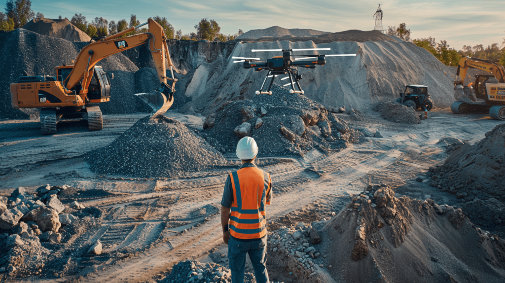
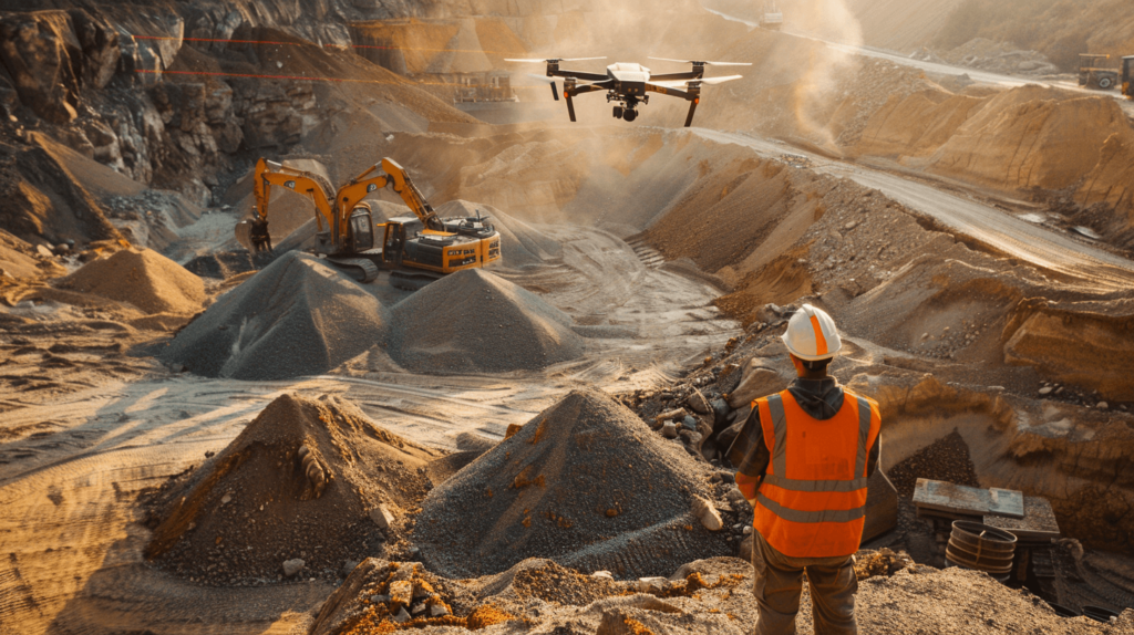
State-of-the-Art Technology: Our team employs cutting-edge technology to gather precise terrain data using photogrammetry. This process involves capturing high-resolution images from various angles and heights using drones equipped with specialized cameras.
Detailed 3D Models: These images are overlaid and processed to create detailed 3D terrain models, providing an accurate representation of the site’s topography and features. This information is essential for accurate earthwork volume and movement analysis.
Data Processing

Meticulous Analysis: Once data is collected, our team analyzes and processes the obtained information. Utilizing advanced photogrammetry and surveying software, a meticulous triangulation and point registration process is performed to generate high-precision digital terrain models.
Accurate Volume Calculations: These models are then used to accurately calculate the earthwork volumes and movements required for the project, considering every terrain detail and design specification.
Report Generation

Comprehensive Reports: Our team prepares detailed reports that include the obtained results and three-dimensional terrain visualizations.
Clear Insights: These reports provide a complete and clear understanding of the excavation, filling, and earthwork movement volumes required in the project, along with cut-and-fill analysis, excavation areas, and material deposition areas.
3D Visualizations: 3D visualizations are also included, enabling a more intuitive understanding of the data and facilitating decision-making by the client and design and construction teams.
Expert Guidance

Informed Decision-Making: Our team of highly trained professionals with extensive construction experience offers expert advice to interpret calculation results and make informed decisions regarding project design and planning.
Personalized Solutions: We are committed to providing personalized guidance and tailored solutions that align with each client’s specific needs, ensuring that the best decisions are made to optimize the project and guarantee its success.
Discover the Green Masters Difference: Photogrammetry for Your Earthwork Projects
Green Masters provides you with precise and reliable earthwork volume and movement calculations using photogrammetry. With nearly a decade of experience in this field, we are committed to providing customized solutions that adapt to your project’s specific needs. Contact us and discover how we can help you optimize your construction and land development projects!